Проверка авторизации
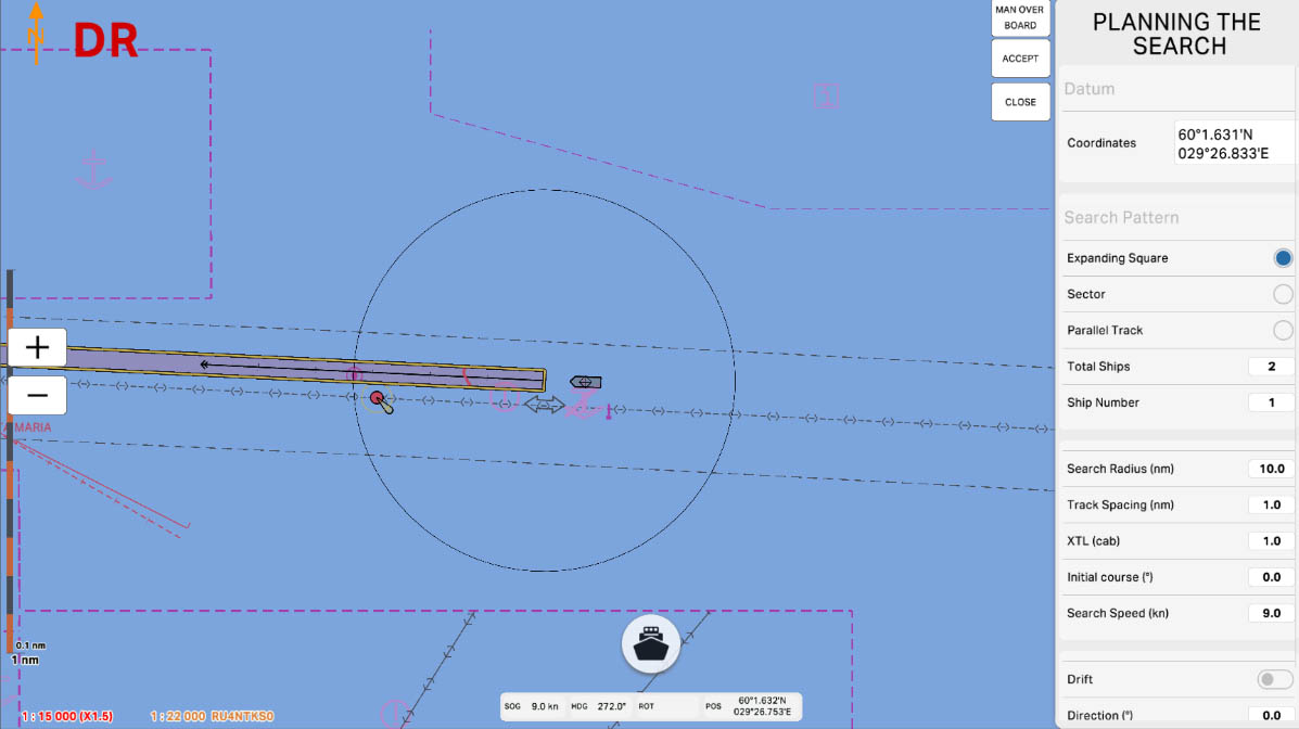
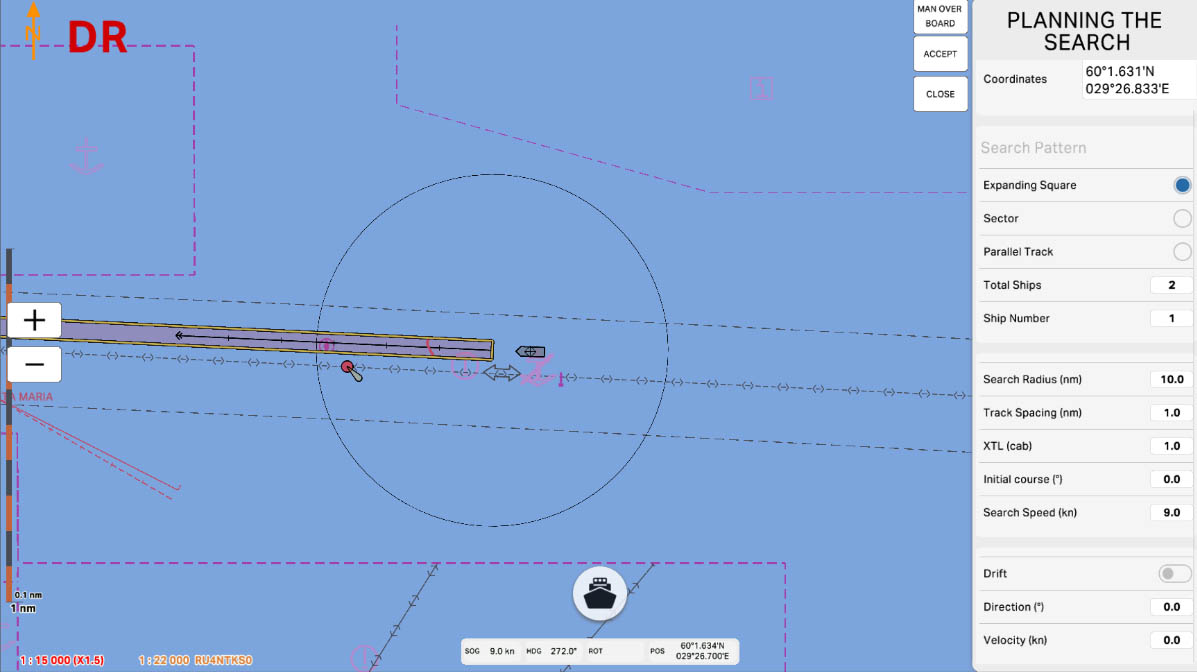
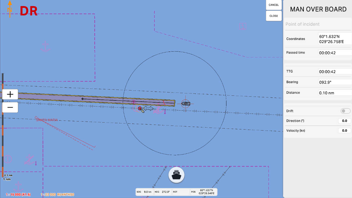
In the MoB (Man Overboard) section of the ECDIS program, we will explore the functionality designed for emergency situations where a person has fallen overboard. This tool is crucial for onboard safety and swift response during emergencies.
The MoB function enables you to quickly record the exact location of the incident on the chart and send an AIS (Automatic Identification System) alert to nearby vessels. This alert informs other ships about the need to assist in the rescue operation or to maintain a safe distance.

Просмотр данных
4.10. Man Overboard (Rescue)
>
4.10. Rescue
>
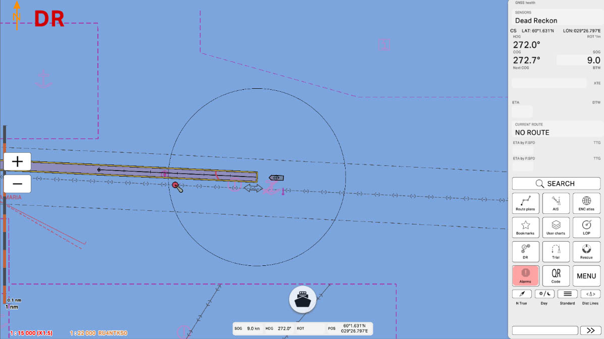
Part 4 - Instruments
Просмотр данных
Select 'Part 1 - Interface' to start the tutorial. After successfully completing this part, new sections and all subsequent ones will be accessible in this menu.
End
The currently examined element is indicated by a green outline and numbering. Explanations will be provided in this window. After reviewing the information, click the 'Next' button or follow the instructions. If you wish to go back to the previous step, click 'Back'. If you decide to finish the study prematurely or choose another section, click 'End'.
Message
0
End
This allows to keep an Rescue waypoint record of the exact location that someone went overboard and send AIS
warnings to other vessels. The AIS warning alerts nearby vessels to request assistance in the rescue operation or
simply to stay clear as the situation requires.
Rescue (MoB)
1
End
Coordinates – Coordinates of the starting point of the rescue operation.
Planning the search
2
End
Expanding Square - A type of search pattern suitable for a single ship which should search outward in expanding squares from the datum.
Planning the search
3
End
Sector - A type of search pattern suitable for a single ship in special circumstances (e.g. man overboard) in which the ship searches radially from datum using a system of sectors of a circle.
Planning the search
4
End
Parallel Track - Search patterns suitable for two or more ships in which all ships maintain parallel courses.
Planning the search
5
End
Total Ships - indicate the total number of vessels involved in the search.
Planning the search
6
End
Ship Number - indicate the ship number.
Planning the search
7
End
Search Radius (nm) - indicate the radius search.
Planning the search
8
End
Track Spacing (nm) - indicate the track spacing search.
Planning the search
9
End
XTL (cab) – indicate the search bar width
Planning the search
10
End
Initial course (°)- indicate the Initial course
Planning the search
11
End
Search Speed (kn) Initial search speed
Planning the search
12
End
Drift - The estimated composite resultant of wind, current and/or tidal stream which may cause a change
in the position of the search target
Planning the search
13
End
Direction (°) - Direction of drift
Planning the search
14
End
Velocity (kn) – Velocity of drift
Planning the search
15
End
Man over board – Set a mark at the point where the man over board was detected. The coordinates of the
mark are saved immediately after pressing the Rescue button
Planning the search
16
End
Man over board – Set a mark at the point where the man over board was detected. The coordinates of the mark are saved immediately after pressing the Rescue button
Planning the search
17
The "4.10. MoB" section has been completed.

Success!
Просмотр данных
NO
YES
Are you sure you want to exit? Your progress in this section will be lost.
Warning!